
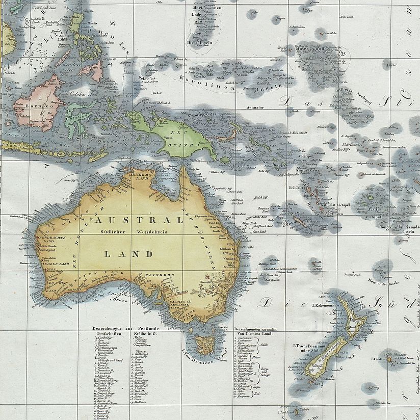
Photo: Deutsches Museum
Map Collection
The Deutsches Museum Archive's map collection comprises around 10,000 maps dating from the 16th century.
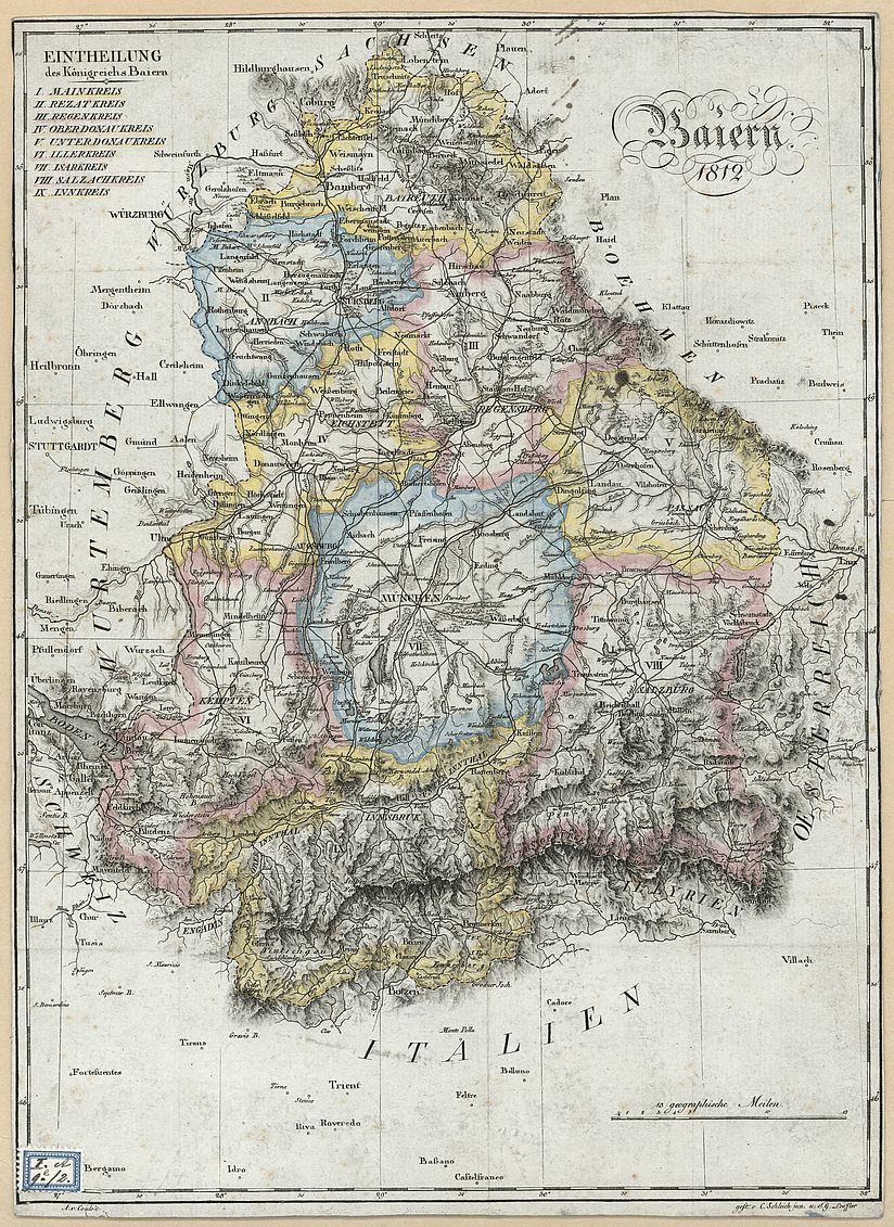
[Translate to English:] Baiern 1812. Eintheilung des Königreichs Baiern, 1812. Signatur: KT2_00310 Photo: Deutsches Museum
Key Thematic Areas
The map collection focuses primarily on thematic maps, such as early road maps from the sixteenth and seventeenth centuries, toll and customs maps from the eighteenth century, synoptic and geophysical charts, and economic maps. The historical development of transport geography is documented through early road and postal route maps (from around 1600 onwards), as well as railway and road network maps (from the nineteenth century onwards). These are complemented by maps spanning the sixteenth to the twenty-first century that trace shifting coastlines and the evolving knowledge of coastal geography.
The map collection was established during the founding years of the Deutsches Museum. The deliberate aim was to bring together a distinct cartographic record that directly connects to the museum's geodesy exhibition, as well as to related primary source holdings in the archive and library.